Be certain of your property’s limits and avoid encroaching on your neighbour’s land by confirming your boundaries with us. A boundary redefinition is a more cost-effective solution compared to unintentional encroachment.
Boundary redefinition typically requires a survey conducted by licensed surveyors to accurately measure and document the property lines.
Once the boundaries are monumented, the new survey information is submitted as an official land record. Boundary redefinition is commonly done to resolve boundary disputes or accommodate new construction projects.
When conducting a boundary redefinition, we will generally carry out the following tasks:
Please Note:
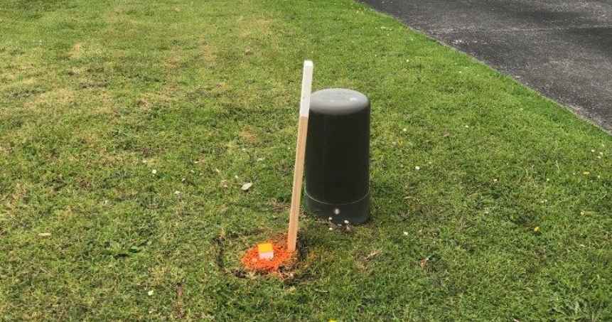
If pegging the boundary is not practical, alternative solutions such as placing line pegs will assist you in understanding the location of the boundary.
Years of Experience
Projects